
File:Corby Boating Lake - geograph.org.uk - 72866.jpg
No higher resolution available.
Corby_Boating_Lake_-_geograph.org.uk_-_72866.jpg (640 × 403 pixels, file size: 48 KB, MIME type: image/jpeg)
Summary
| Description |
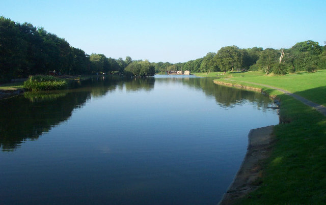
English: Corby Boating Lake. Viewed looking north-eastwards from the southern end, in 2002 this was certainly a popular lake for anglers and model boat enthusiasts, but despite its name I don't think that the general public were allowed to take to the water...! |
| Date | |
| Source | From geograph.org.uk |
| Author | Nigel Cox |
| Attribution (required by the license) | Nigel Cox / Corby Boating Lake / |
| Camera location | | View this and other nearby images on: OpenStreetMap |
|---|
_&language=en)
| Object location | | View this and other nearby images on: OpenStreetMap |
|---|
_&language=en)
Licensing

|
This image was taken from the Geograph project collection. See this photograph's page on the Geograph website for the photographer's contact details. The copyright on this image is owned by Nigel Cox and is licensed for reuse under the Creative Commons Attribution-ShareAlike 2.0 license.
|
This file is licensed under the Creative Commons Attribution-Share Alike 2.0 Generic license.
Attribution: Nigel Cox
- You are free:
- to share – to copy, distribute and transmit the work
- to remix – to adapt the work
- Under the following conditions:
- attribution – You must give appropriate credit, provide a link to the license, and indicate if changes were made. You may do so in any reasonable manner, but not in any way that suggests the licensor endorses you or your use.
- share alike – If you remix, transform, or build upon the material, you must distribute your contributions under the same or compatible license as the original.